
 ...in a land up north, not so far away...
Are you ready for more?...
 From hereon, I shall let the diagrams below do the talking (all maps courtesy of Ming's GPS - in case you need to put a face to a GPS-button pusher, look no further than the guy with a moustache above)... above map was extracted from KOTRT website.
Below : Little explanatory note for people-who-dun-read-maps-too-good.....like me....
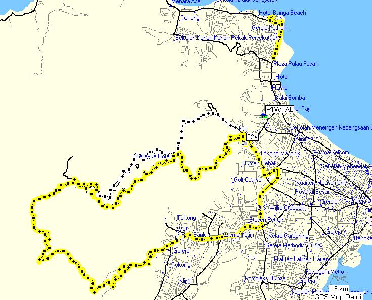 Above : Yellow line is the contour plot of Sunday's trailride, which was supposedly longer than the 2004 trail! Holy cow!
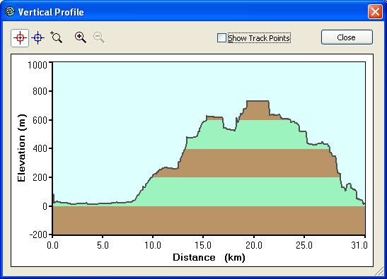 Above : Elevation and Distance chart. Just imagine - BT Hill is only 163.63m. We cycled up more than 4 x Bukit Timah Hill elevation within more than 4 x Bukit Timah BikeTrail distance! Need I say more? Watch out for Trailer 2....coming to you soon on a blog near you...


No comments:
Post a Comment